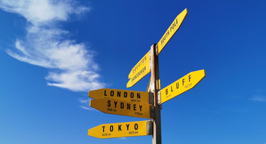
Most people start the trail in Cape Reinga in October-November and walk soutbound (SOBO). To get to the northern start point, most hikers book the Intercity Bus from Auckland City to Kaitaia early in the morning at about 7:30am. The trip takes about 6.5 hours and costs about 30 euros. There is no public transport from Kaitaia to the Cape. Some private ones offer shuttles. However, most of them hitches. The population up there is very used to TA hikers and are very happy to take you for a ride.…
These two rivers pose extreme dangers as they can be very wide and deep. It can take hours to cross them and there is a risk of getting stuck in the middle. In addition, you are crossing private land which does not allow you to walk on it. Therefore, the Te Araroa Association explicitly states that these two river crossings are not part of the trail and should be avoided by shuttle or hitch.
Since the search for a reliable elevation profile for Te Araroa is quite difficult, I have created one myself according to the latest data from the official Te Araroa Foundation. Last update of the route from the organization was on 01 October 2019, and the elevation profile is based on this update. Errors can still not be 100% excluded.